

 Central New York has a number of geologically significant sites, and some of them are places that we would want to go/be able to go with the bus. Many of the areas are State Parks, rather than National Parks, as New York State started to preserve its own natural areas about the same time that the National Park Preserves were instituted (Yellowstone was the first in 1872).

As proof of this, look to the Niagara Reservation State Park (protecting Niagara Falls, Goat Island, and ‘mainland’ areas adjacent to the Bridal Falls), which is the first State Park in America in 1885 (though legislation had been argued over since the late 1860’s)

Anyhow, the first place, going from west (Buffalo) toward the east, is Letchworth State Park, sometimes called the ‘Grand Canyon of the East.’ This is a State Park with camping near(ish) the Gorge Rim, and miles of hiking trails.

With more than 14,000 acres of space, there’s three waterfalls, including the tallest falls in the State. There are historic sites, like Mary Jemison‘s gravesite and the restored Seneca Council House, and the Glen Iris Inn. There are plenty of winter activities too, but the camping sites aren’t open then, so it’s a day-trip for those.

Watkins Glen State Park is another really scenic location we’d like to hit. The narrow gorge has several levels of trails, from right down by the water, to much farther up along the rim of the gorge with more view. Run as a private park and resort from 1860, it was purchased by the State as a public park in 1906.

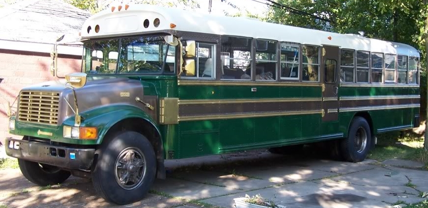
The gorge itself is as much as 400′ deep, and has 19 waterfalls, making it a continually visually enticing hike. Unfortunately (for us), while they have almost 150 RV/trailer spots (and many more camping sites) that will fit a 30′ or smaller unit, our 35′ bus is too large to stay there.

The third place is Chimney Bluffs State Park, which I mentioned in a previous post. There’s no camping here, but the Lake Bluff Campground is only a mile and a half away.

Taughannock Falls is another camping spot, though there’s only one (1!) site that would fit a 35′ RV, so book well in advance! There are actually two falls within the park, and the creek flows along through the park to the shore of Cayuga Lake (one of the Finger Lakes) where they have a boat launch and beach!
 While not as geologically scenic as the other locations, the Salt Museum, in Liverpool, NY examines the history of the industry the salt springs along the shore of Onondaga Lake allowed, so productive that Syracuse, NY was known as the ‘Salt City’. These springs of brine were slowly leeching away the salt from huge underground domes of salt evaporates from ancient seas.

Farther east, the ancient seas also produced Herkimer Diamonds, pointed, faceted quartz crystals of high clarity. There are two highly productive ‘mine-your-own’ mines right next to each other in Middleville, each with camping available.


The Ace of Diamonds Mine has what seems to be a no-frills camping site and the Herkimer Diamond Mines is affiliated with the KOA thst is just across the road from it. You can bring your own (non-power) mining tools, though the fee to get in to the Herkimer Diamond Mines gets you the use of a rock-hammer. Closed shoes, durable pants, and eye-protection a must!

And lastly, Howe Caverns, its nearby rival of the Secret Caverns, and the relatively recently re-opened Cave House Museum of Mining & Geology. Near Bramanville, the lower limestone bedrock has been eroded by water in places, making it pitted with cave networks, both large and small.

Some of the tours of Howe Cavern are undertaken by boat along flooded caves, while the Secret Caverns boast an underground waterfall (which depends on seepages from a swamp above for water – if you go during a dry spell, the waterfall may not be very impressive).

And don’t think you need to spend all your time underground. Howe Caverns has also added a Zip-Line, Bungee, Climbing Wall, and High Ropes course, so you can really make a day out of your stay. There’s a convenient RV campground just a few miles to the east in Central Valley, Hide-A-Way Campsites. They have 60 spots, and look to have nice amenities.
I’ll be making another post about the Historical sites we want to go to, which will cross with some of these locations, making Central New York really rich and complex for our trips.


